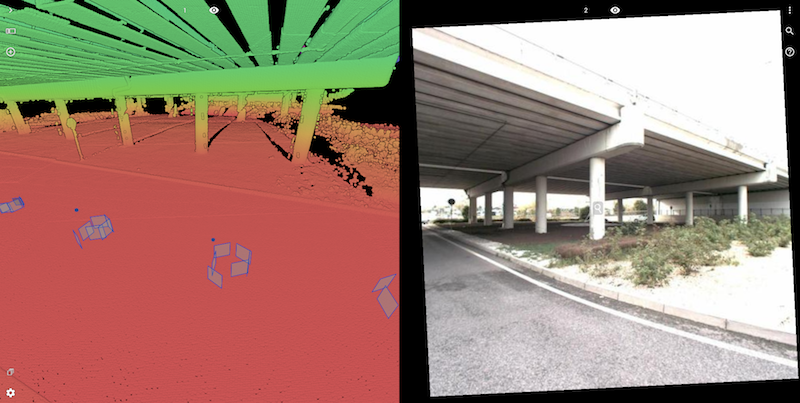
Mobile mapping systems typically consist of a scanner and a camera, however, many variations exist. On the camera side, the spherical image is the most popular because of its easy use. But quite a few mobile mapping systems include supplementary non-spherical or planar camera’s. These are added to the mix to provide images with higher resolution than the spherical image, allowing to interpret more details.
On the desktop, the Orbit GT portfolio has been supporting each of these camera types for quite some time. Finally, we’re happy to say that the latest 3D Mapping Cloud update includes support for these planar images, to be used with a slick and intuitive user interface.
You can now open a spherical or planar view at once, and jump from one to the other. You can change the planar view from camera to camera on the same spot, or use the play function to keep the camera view along the street. And of course, this is all fully compatible with all measurements, annotations and any other capabilities of 3D Mapping Cloud !
Enjoy !