Homepage
3D Mapping Cloud
Platform to View, Share, Process, Operate and Integrate 3D Mapping data
Street-level Mobile Mapping, Indoor Mapping, Drone Mapping, Aerial Mapping, Terrestrial Mapping, Scanning, Imagery, GPR, 3D Vectors, Meshes, 2D GIS/CAD and more
Watch Video Try it Now3D MAPPING CLOUD
SaaS-based 3D Mapping & Data Sharing solution
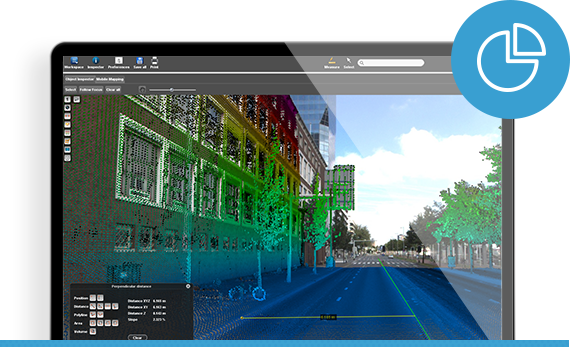
Orbit GT’s 3D Mapping Cloud is the optimal fusion of technologies and a unique ‘plug and play’ solution for all 3D mapping needs. Easily access vast volumes of data from Mobile Mapping, UAS Mapping, Oblique Mapping, Indoor or Terrestrial scanning, with LiDAR point clouds and/or imagery, Textured Mesh, and GIS resources. The 3D Mapping Cloud is so much more than a viewer.

ADVANTAGES
WHY CHOOSE 3D MAPPING CLOUD?
Manage – View – Measure – Analyze – Share – Publish – Integrate
a vast amount of 3D Mapping data in just 3 steps!
SIGN UP
Sign Up in seconds.
Create an account for your organization and go invite your teammates. Instantly use the available sample data to get started to explore all capabilities.
UPLOAD
Upload your own data.
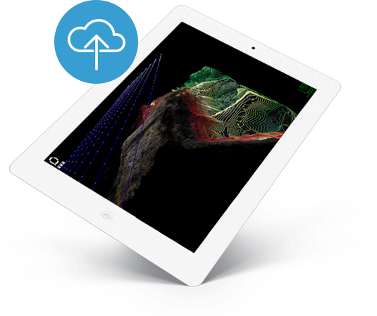
Use the Free Upload Tool or the 3DM Content Manager for safe upload of large datasets. Use our Disc Delivery service for even larger datasets – there are no limits!
VIEW AND SHARE
Instant view any dataset ad hoc.
Just select them from your Data Catalog. Fuse various data types together on the fly. Share your data and views with others, your customer, your contractor, the public.

Same features for everyone
All our subscription plans have equal capabilities
Our subscriptions define the number of named users, guest users and storage. All subscriptions have equal capabilities, optionally limited by individual or team permissions. Here’s a short list of capabilities.

