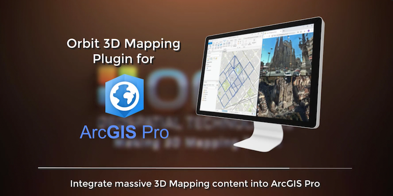
The 3D Mapping Viewer SDK has come to age and is now implemented for ArcGIS Pro. You can download it here. The plugin is available for free and you can use it to connect to your 3D Mapping Cloud account or to any 3DM Publisher.
The plugin visualizes any 3D Mapping content, such as massive point clouds, street level imagery, drone data, aerial imagery, meshes, 3D models and more. The implementation also allows to convert your 3D measuerments to new features in ArcGIS Pro and save it into you geospatial database.
Furthermore, you can overlay your GIS content in the 3D view on the fly !
July 10, 2019