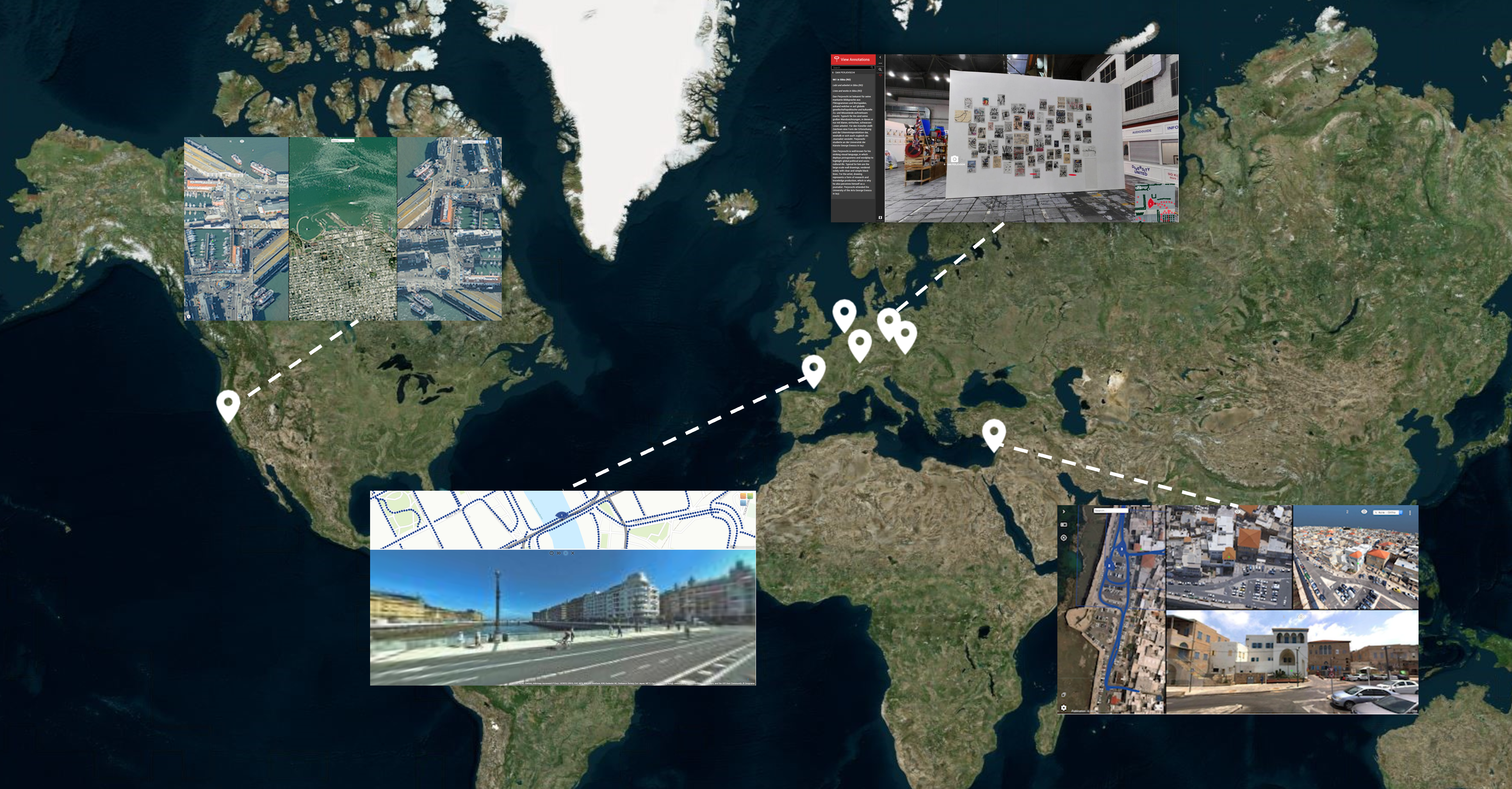
Publications EMEA
Try it Now Publications
Data stored on Azure West Europe
These are free-to-use Publications to evaluate and demonstrate the Orbit 3DM Viewer, Plugins, and SDK.
Try it Now Publications are also available on other Data Centers. The closer, the faster, the better.
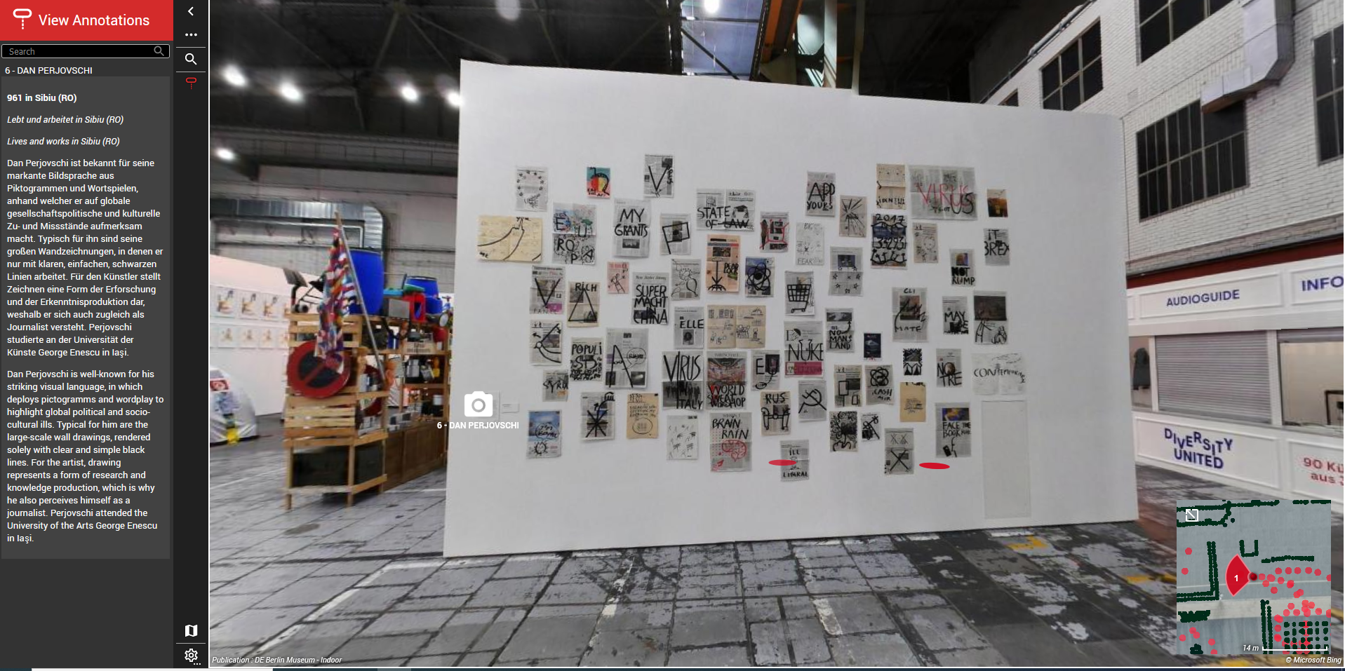
BERLIN
Indoor Mobile Mapping
Imagery – Point Cloud – Annotations
© beeXact, Netherlands
Token: fA1wq5AqDxPbnaRL60Qs
DONOSTIA / SAN SEBASTIAN
City Mobile Mapping
Imagery – Point Cloud
© Geograma S.A., Spain
Token: z6m54vXCBbPbnzO7ViwW
SAN FRANCISCO
City Oblique Mapping
Imagery – Point Cloud
© Geomni, USA
Token: vi0leYrqo8PbnqBeBBGM
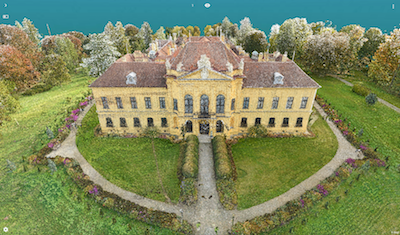
ECKARTSAU CASTLE
On-Site Outdoor / Indoor Terrestrial and Aerial Mapping
Imagery – Point Cloud
© RIEGL, Austria
Token: RcLKf1P2ZgPbnKM1TWc5
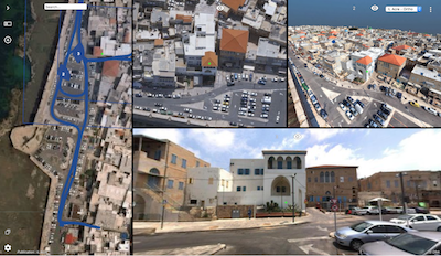
OLD TOWN OF ACRE
City Mobile & Oblique Mapping
Imagery – Point Cloud – Textured Mesh
© OFEK, Israel
Token: V0A6Fb1DV9Pbnxo0bEAb
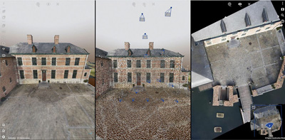
DIEPENSTEYN CASTLE
On-Site Aerial Mapping
Imagery – Point Cloud – Textured Mesh
© Digital Construction Works, USA
Token: KHFbBvUE1oPbnUf74d6N
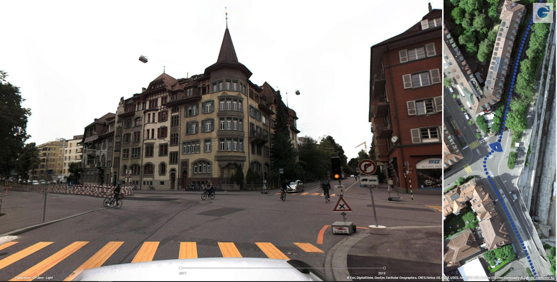
Bern City
City Mobile Mapping
Imagery – Point Cloud- Timeline
© Grunder Ingenieure AG, CH
Token: PigRYFJA8TPbnYKiLW6V
GEOSPATIAL CATALOG

